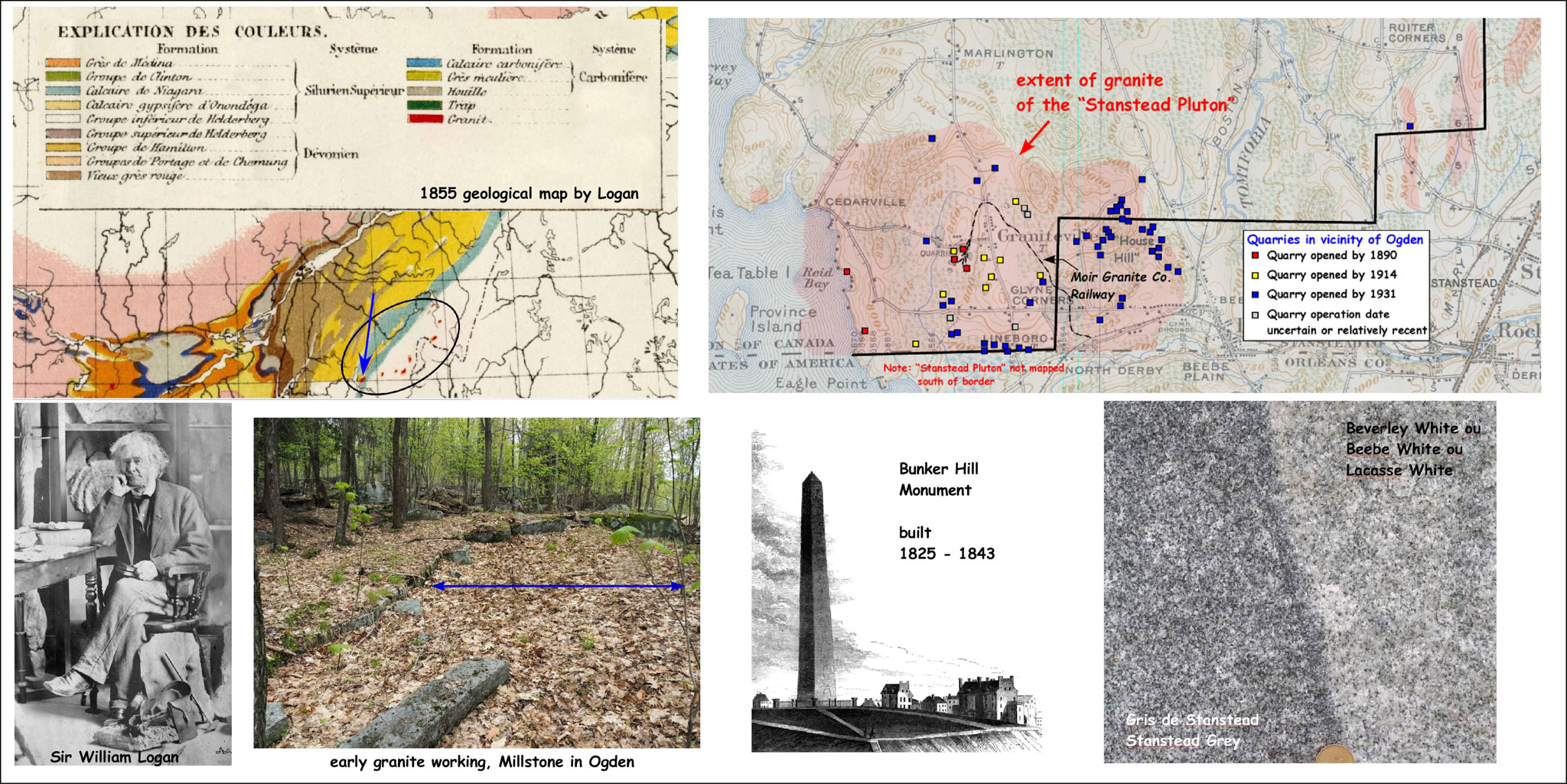
The Stanstead Pluton was first mapped by Sir William Logan during the late 1840s. Logan (lower left) was a native Montrealer who studied the nascent science of geology in Britain and returned to Canada to become the first director of the Geological Survey of Canada. Much of his early field work was spent in the Eastern Townships. Logan’s 1855 geological compilation map shows the granitic plutons in the Townships as red blobs. The map on the upper right shows our modern understanding of the extent of the Stanstead Pluton. It also shows the many quarries that have exploited this resource and the approximate time when these quarries were first opened. There are two variants of granite seen in the Pluton (lower right). The more common is the darker Stanstead Grey. The Beverly or Beebe White is the lighter variant.
The earliest workings in Ogden however went undocumented and were granitic ledges or outcroppings where the separation of granite into sheets (layers) by the action of frost and unloading, allowed for relatively straight forward extraction of granite blocks using simple techniques.
The start of the granite industry in North America is often cited to be the building of the Bunker Hill Monument (Boston) by Solomon Willard in 1825 to 1843. It required an immense amount of granite and Willard and his colleagues invented many of the processes and tools to make the industry commercially viable.