

Then (c 1945): View to east of a low ridge of hills (Pudding Hill on left, Millstone on right) lying between Cedarville Road and Chemin Marlington. Farm in background was once owned by George Hall, and subsequently by the Weir family. Farmhouse was torn down in the early 1950's. Photographer: William T May, courtesy WR May
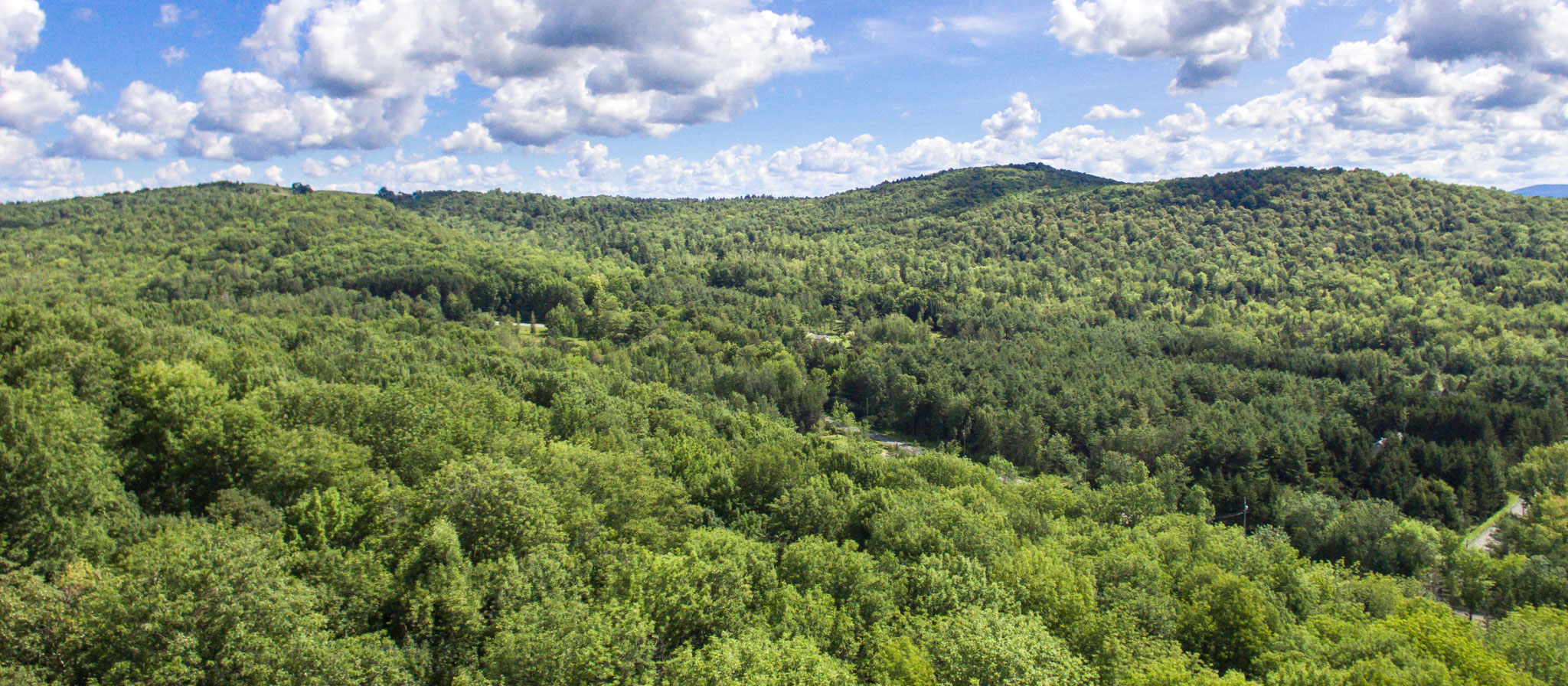
Now (July 2017): The drone was launched from Descente 20. These images clearly show how forests have completely covered fields that farmers had put in long days and hard labour to clear, not that long ago. DJI Phantom 3