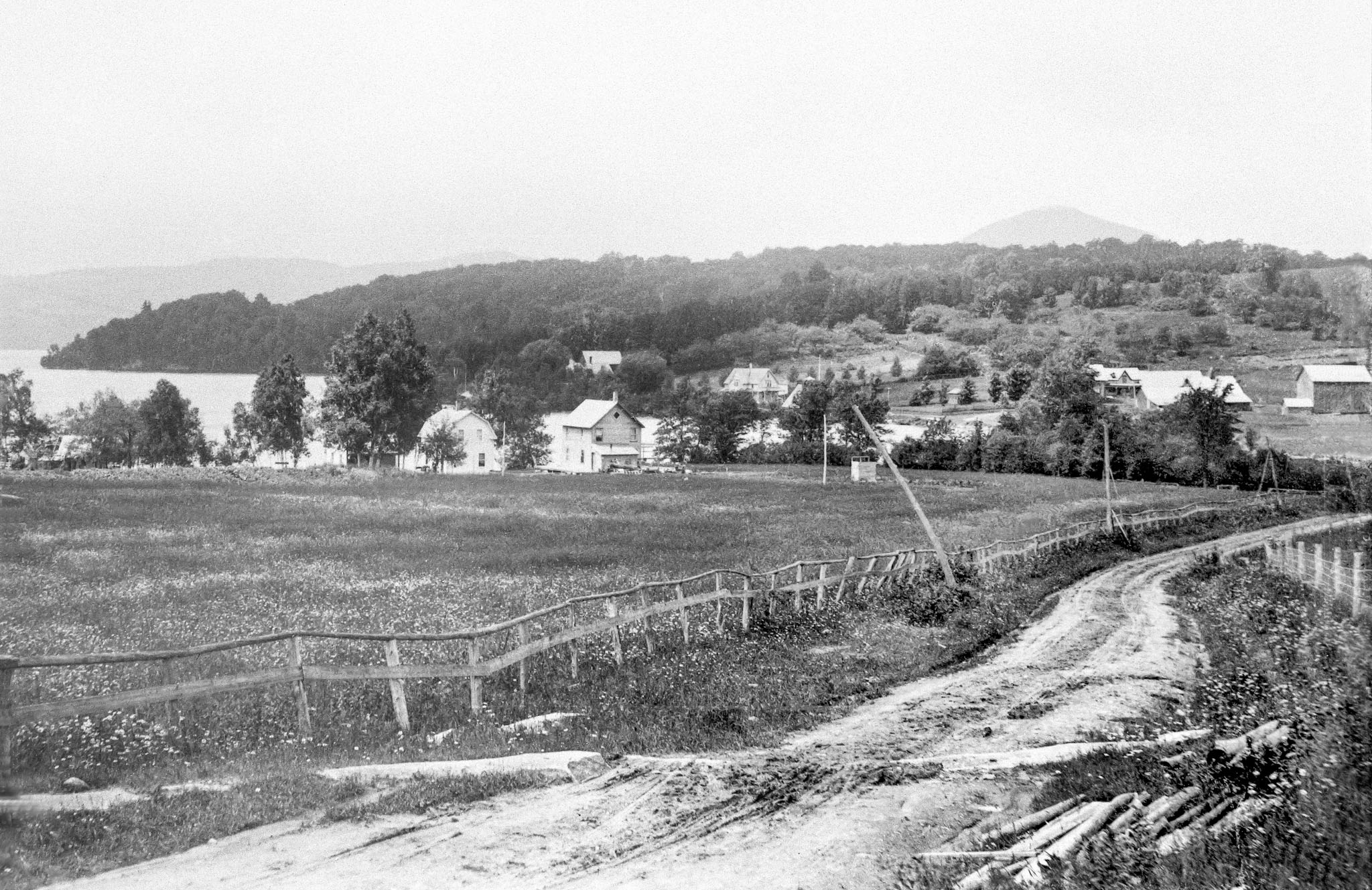
Then (c 1900): View towards the northwest and Cedarville from the main highway (what is now Chemin Cedarville) Photo taken by JJ Parker, used with permission from the Stanstead Historical Society.
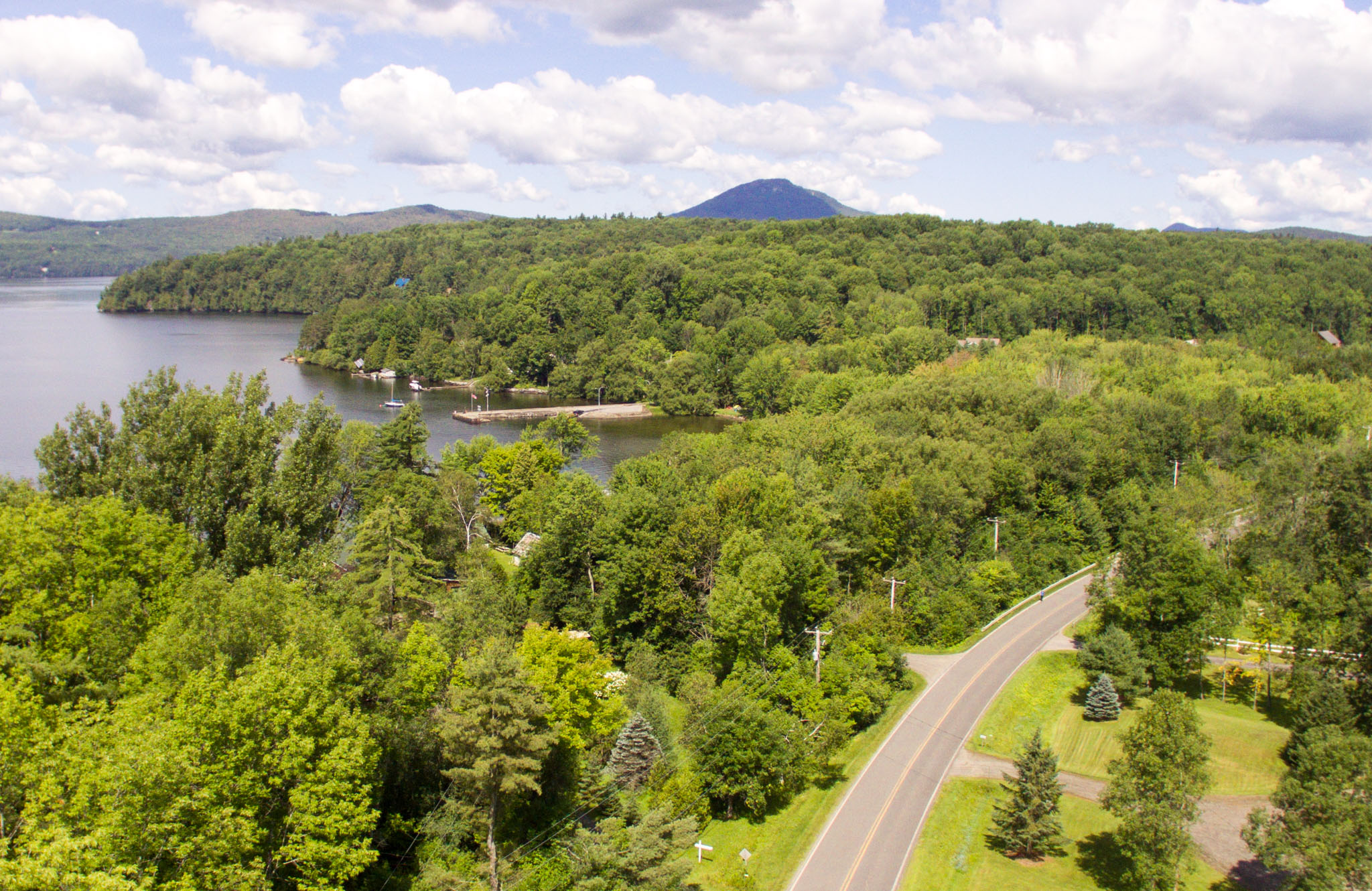
Now (July 2017): The public dock is clearly visible, and shows where Weir Park is located, invisible behind the trees. Cedarville Road is much better condition now, than it was then! DJI Phantom 3, summer, 2017.