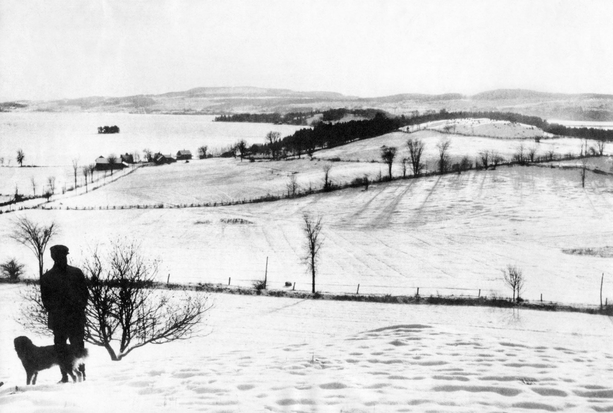


Then (c 1900): View in winter towards the southwest and a frozen Lake. Tea Table and Province islands visible in background with (what is now) Chemin Weir in the middle distance. Photo taken by Ron Weir, provided by the Simpson family.

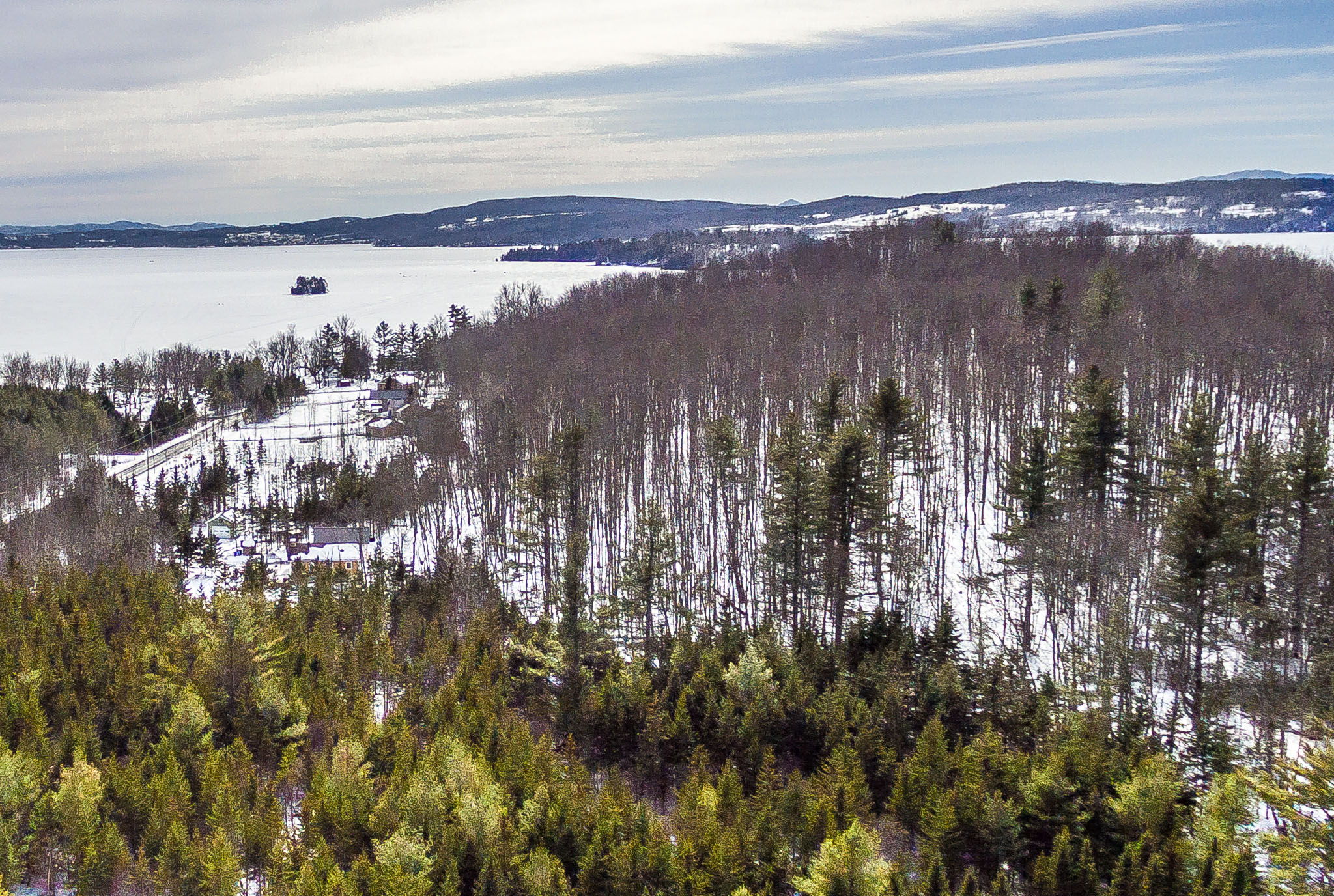
Now (July 2017): The drone was sent up from the woods on the north side of Cedarville Road, west of Chemin Lamarche. DJI Phantom 3, February 2018.